Research & Training Projects
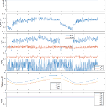
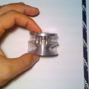
The objective of this project is to extend the initial working model of the Miniaturized Charge eXchange Thruster (MCXT; provisional Australian patent), into a space-qualified, fully tested, and commercial thruster with a modular construction that can be
The objective of this project is to build, test, and refine the design of Air@Wave Communications communication system for CubeSats and UAVs, converting
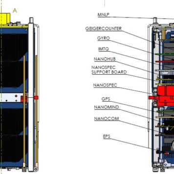
The objective of this project is to explore and develop plug-and-play CubeSats and their systems, some of which will have applications to UAVs.; analyse existing Commercial Off-The-Shelf (COTS) CubeSat parts, especially their electrical and mechanical
This project will focus on broadband optical imaging applications, aiming to develop, build, and test a novel, very high fidelity (narrow point-spread function), 10-cm long system without mirrors for a 1U CubeSat and
The focus of this project is on developing, building, and testing the first fully photonic CubeSat-sized spectrographs and hyperspectral imagers for CubeSats and UAVs, analyse them theoretically and experimentally, with the intention of revolutionising
The focus of this project is to evaluate the capabilities, limitations, and space-readiness of Project 2.1 and 2.2’s new instruments using UAV, ground-based, and CubeSat and other satellite data.
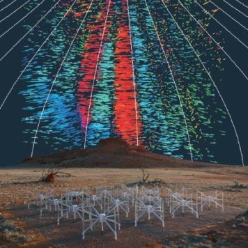
The objective of this project is to design, build, and test a Retractable Tether Instrument, based on space-qualified Tether (for de-orbiting spaceraft), that will partially retract and deploy multiple times on command to change the spacecraft drag. This will allow
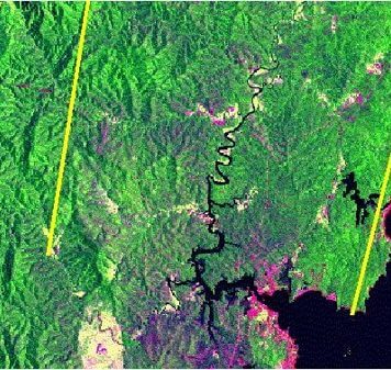
The aim of this project is to: (a) Perform high resolution mapping with isolation of spectral signatures for inter-tidal and nearshore environments (including reefs) to classify nearshore vegetation and geomorphic features and to monitor spatio-temporal changes in

The intention of this project is to (a) Extend the team’s spatial and spectral feature recognition algorithims, developed for vegetation, and use machine-learning algorithims and eData techniques to differentiate crops, classify native grasses and trees (of particular species), and identify
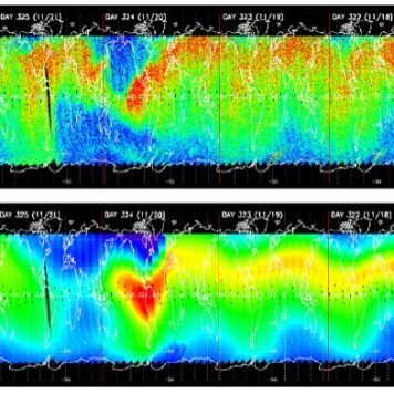
This technique involves the reflection of GPS signals off the sea and their subsequent detection by a GPS receiver on another satellite. Inversion of the delays allows the time-varying location of the reflecting surface to be determined, and so the height and propagation velocity of water waves and the local wind velocity.
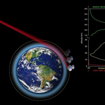
Reliable detection and tomographic inversion of path-integrated electron density data encoded in GPS signal propagation and phases for satellites undergoing radio occultation is vital for multiple reasons. (a) Observations: we will extend an existing capability for
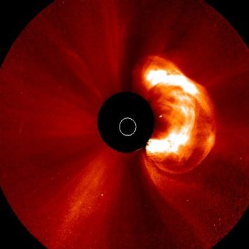
Saber Astronautics sells the Predictive Interactive Groundstation Interface (PIGI), mission control software that combines spacecraft datastreams with world-class data mining to give operational intelligence. The primary drivers of space weather events at Earth are the direction and magnitude of the magnetic field and the ram pressure (density times speed squared) of the solar wind.


