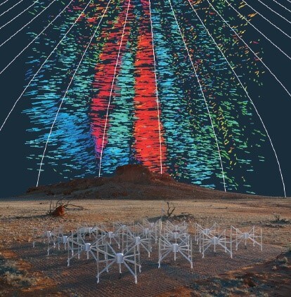
Reliable detection and tomographic inversion of path-integrated electron density data encoded in GPS signal propagation and phases for satellites undergoing radio occultation is vital for multiple reasons. (a) Observations: we will extend an existing capability for inverting COSMIC-1 radio occultation data to the UNSW GPS instruments on UNSW ECO, INSPIRE-2, and future Centre CubeSats and to COSMIC-2. These and other satellite data will be used by the Bureau of Meteorology in their numerical / computer modelling if provided quickly enough in a suitably calibrated form. (b) Modelling: We will develop a time and spatially varying 3D model for the ionospheric electron density. It will assimilate ionosonde observations with GPS tomographic data from (a), Project 2.4, and possibly INSPIRE-2. Outputs will be compared with independant ground and space data, refining the simulation and assimilation as needed. The project will result in novel Australian capabilities for using these GPS data and for measuring and simulating space weather effects, and will be of use for GNSS Position Navigation and Timing (PNT) and HF radio systems such as OTHR and communications.
Project Chief / Partner Investigators:
Andrew Dempster (UNSW – CI); Iver Cairns (Sydney – CI); David Neudegg (BoM – PI)


