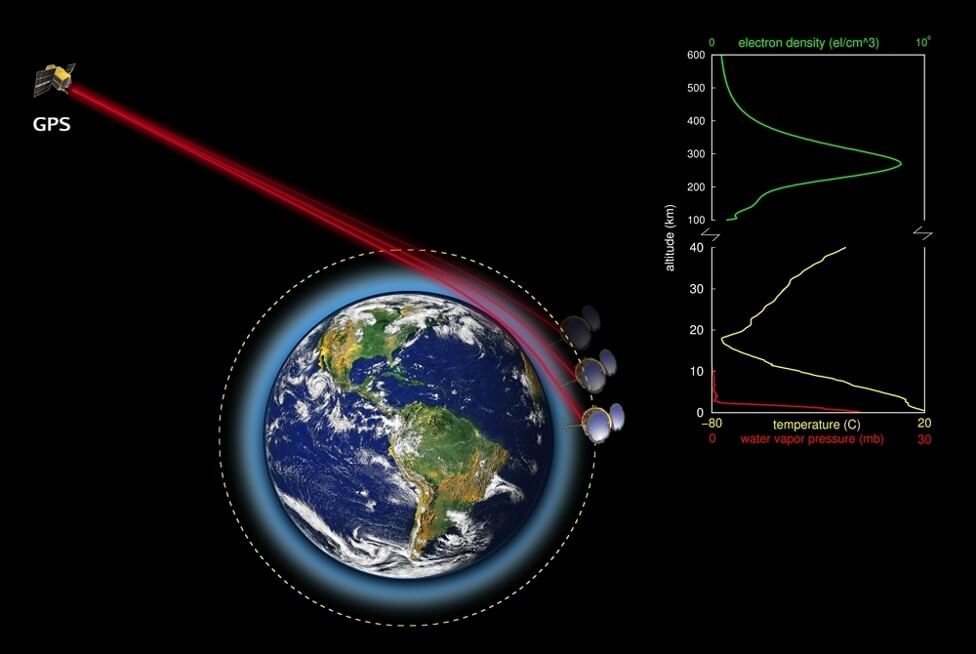
This technique involves the reflection of GPS signals off the sea and their subsequent detection by a GPS receiver on another satellite. Inversion of the delays allows the time-varying location of the reflecting surface to be determined, and so the height and propagation velocity of water waves and the local wind velocity. Crucially, these data can be obtained remotely and over very large spatial regions in the open ocean, major advantages compared with using buoys and ships. This project will make use of UNSW’s GPS instruments on the UNSW ECO and INSPIRE-2 CubeSats, as well as on UAVs & new CubeSats, to detect and analyse the reflected signals, develop associated algorithms for extracting the sea state, and then test and validate the results against BoM data. The goal is to make GPS sea-state reflectometry and sea-state predictions widely-used commercial CubeSat data products.
Project Chief / Partner Investigators:
Andrew Dempster (UNSW – CI); Roy Hughes (Sydney – CI); Iver Cairns (Sydney – CI); Stephen Carr (DSTG – PI)


