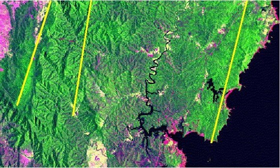
The aim of this project is to:
(a) Perform high resolution mapping with isolation of spectral signatures for inter-tidal and nearshore environments (including reefs) to classify nearshore vegetation and geomorphic features and to monitor spatio-temporal changes in environmental, natural resource, and sea-level conditions, all with multiple public good, scientific, and commercial applications.
(b) Exploit Project 2.2’s hyperspectral data to develop narrowband spectral indices for retrieval of biophysical coastal parameters, for instance allowing improved estimates of vegetation biomass and sediment properties, relevant to coastal system health.
(c) Identify and perform other projects using similar data and techniques for coastal and marine applications considered important by the team.
Project Chief / Partner Investigators:
Eleanor Bruce (Sydney – CI); K C Wong (Sydney – CI); Roy Hughes (Sydney – CI); Richard Murphy (Sydney – CI); Iver Cairns (Sydney – CI); Bradley Evans (DSTG – PI); Daniel Bongiorno (DSTG – PI); Chip Bachmann (R.I.T. – PI); Terry Cocks (HyVista – PI); Paul Barber (ArborCarbon – PI)


